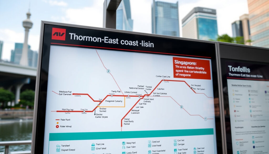
Brown Line MRT Map: Full Guide to the Thomson–East Coast Line
Anyone who has watched the Singapore MRT map evolve over the last decade knows the brown line has been the one to track. Officially the Thomson–East Coast Line (TEL), this fully underground system now stretches from Woodlands in the north to Bayshore in the east, reshaping how commuters move across the island.
Line color on official map: Brown ·
Total length (km): Approximately 57 ·
Number of stations (full completion): 32 ·
Underground sections: Fully underground ·
Connects to other MRT lines: 6 interchange stations ·
Stage 4 opening year: 2024
Quick snapshot
- Official name: Thomson–East Coast Line (Land Transport Authority)
- Fully underground, ~57 km (LTA)
- 32 stations at full completion (SingaporeMRT.org analysis)
- Stages 1–4 operational as of 2024 (Land Transport Authority)
- Exact opening date for Stage 5 (Changi Airport branch) not announced
- Final station naming for Changi Airport transfer may differ
- Future changes in service frequency or operational hours unconfirmed
- Stages 1–3: 2020–2022 (LTA official update)
- Stage 4: Opened 23 June 2024 (LTA official update)
- Stage 5: Future, pending (LTA official update)
- Stage 5 extension to Changi Airport
- Transfer of Tanah Merah, Expo, and Changi Airport from green to brown line
- Potential further extensions east of Bayshore
The TEL is not just another line — it reorients how thousands of commuters move between Woodlands, Orchard, and the East Coast every day.
| Attribute | Value |
|---|---|
| Line color | Brown on official MRT map |
| Length | 57 km (35 mi) |
| Number of stations | 32 at full completion |
| Underground | 100% underground |
| Operating speed | Up to 80 km/h |
| Operator | SMRT Trains Ltd |
The table confirms that the TEL is one of the longest fully underground lines globally, yet it is operated by a single company, SMRT.
What is the Brown MRT line?
Official name and line color
- Official name: Thomson–East Coast Line (TEL) — designated as brown on the official LTA rail network map.
- It is the sixth MRT line, fully underground, approximately 57 km long with 32 stations at full completion (Land Transport Authority).
The line’s brown color was chosen to distinguish it from the existing red, green, purple, blue, and yellow lines. The TEL replaces part of the East–West Line’s eastern segment, giving residents in the east a direct underground link to the city centre and northern suburbs.
Length, underground status, and total stations
- Length: ~57 km — Land Transport Guru transit analysis site confirms this makes it one of the longest fully underground MRT lines globally.
- Entirely underground, designed for speeds up to 80 km/h.
- Operator: SMRT Trains Ltd.
The implication: a 57-km underground line connecting three major population corridors means commuters can bypass surface traffic entirely. That matters in a city where road congestion remains a daily friction point.
What are the MRT stations on the Brown line?
Full station list from Woodlands North to Bayshore
The TEL runs from Woodlands North (TE1) to Bayshore (TE29) after Stage 4. Here are the 27 currently operational stations (MRT Go map guide):
- Woodlands North, Woodlands, Woodlands South
- Springleaf, Lentor, Mayflower, Bright Hill
- Upper Thomson, Caldecott, Mount Pleasant
- Stevens, Napier, Orchard Boulevard, Orchard
- Great World, Havelock, Outram Park
- Maxwell, Shenton Way, Marina Bay
- Gardens by the Bay, Founders’ Memorial, Tanjong Rhu, Katong Park, Tanjong Katong, Marine Parade, Marine Terrace, Siglap, Bayshore
Interchange stations with other lines
Seven stations connect to other MRT lines, making the TEL a backbone for cross-island travel (MRT Go guide):
- Woodlands – North–South Line
- Caldecott – Circle Line
- Stevens – Downtown Line
- Orchard – North–South Line
- Outram Park – East–West Line and North East Line
- Marina Bay – Circle Line and North–South Line
- Gardens by the Bay – Circle Line
The pattern: every major corridor — northern, central, eastern — now has at least one interchange with the brown line. For a commuter living in Woodlands and working in Marina Bay, that’s one seamless ride.
Which MRT stations will change from the green line to the brown line?
Tanah Merah, Expo, and Changi Airport MRT stations transfer
- These three stations currently on the East–West Line (green) will be transferred to the Thomson–East Coast Line.
- This transfer is planned as part of Stage 5, which extends the TEL to Changi Airport.
- Service adjustments will include a new TEL branch serving Changi Airport, freeing capacity on the East–West Line (LTA integration notice).
The trade-off: commuters currently using the green line to reach Changi will need to learn a new transfer point. But the TEL takeover reduces overcrowding on the East–West Line’s eastern segment, which consistently ranks as one of the most crowded on the network. For daily commuters between Tampines and the city, that’s meaningful congestion relief.
What is the Thomson–East Coast Line opening schedule?
Stage 1, 2, 3 open
- Stage 1 (2020): Woodlands North to Woodlands South (LTA)
- Stage 2 (2021): Springleaf to Caldecott
- Stage 3 (2022): Mount Pleasant to Gardens by the Bay
Stage 4 opening (2024)
Stage 4 opened on 23 June 2024 (Land Transport Authority), adding eight stations: Founders’ Memorial, Tanjong Rhu, Katong Park, Tanjong Katong, Marine Parade, Marine Terrace, Siglap, and Bayshore. This materially changed east-coast access by connecting areas like Marine Parade directly to the underground network for the first time. A PropertyGuru property market analysis noted that seven of these stations opened together, dramatically reducing travel time from the East Coast to the city centre.
Before Stage 4, residents of Marine Parade and Siglap relied solely on buses. Now they have a direct underground link to Orchard (12 minutes) and Marina Bay (8 minutes). That changes daily commuting patterns for an estimated 250,000 residents.
Stage 5 and future extension
- Stage 5 extends the TEL further east and to Changi Airport.
- Exact opening date not yet confirmed by LTA.
- Will include the transfer of Tanah Merah, Expo, and Changi Airport from the East–West Line.
The catch: the Stage 5 timeline remains unconfirmed. For now, commuters heading to Changi still use the green line. Once the brown line takes over, expect smoother connections but a different routing from what tourists and workers have memorised.
Final station naming for Changi Airport on the TEL may differ from the existing Expo and Changi Airport names. LTA has not confirmed whether the existing stations will be renamed to fit the TEL numbering scheme.
How can tourists use the MRT in Singapore?
Buying tickets and travel cards
- Tourists can use the Singapore Tourist Pass (1/2/3-day unlimited rides) or contactless bank cards (Visa/Mastercard) directly at gantries (LTA public transport guide).
- EZ-Link and NETS FlashPay cards work on all lines including the TEL.
Navigating the system with the Brown line map
- The brown line connects to Changi Airport (via green line transfer at Tanah Merah until Stage 5 opens) and directly to major attractions: Orchard Road, Gardens by the Bay, Marina Bay Sands, and the East Coast Park area.
- Official system maps in PDF format are available from LTA’s network map page.
Tips for first-time visitors
- Use the MyTransport.SG or MRT Go app for real-time routes and exit guides.
- The brown line’s interchange at Outram Park gives access to Chinatown (North East Line) and the central business district.
- Trains run from ~5:30 AM to midnight, with frequencies of 3–5 minutes during peak hours.
“The Thomson–East Coast Line provides faster, more direct connectivity for residents in the eastern and northern parts of Singapore, reducing travel time and relieving congestion on other lines.”
— Land Transport Authority (LTA official statement)
“We are committed to ensuring a seamless transition for commuters when the new line takes over existing stations, with minimal disruption to daily travel.”
— SMRT spokesperson (LTA integration notice)
For a first-time visitor, the brown line offers a clean, air-conditioned, and reliable way to traverse Singapore’s north–south and east–west corridors. The practical takeaway: buy a Tourist Pass or tap your contactless card, get the MRT Go app, and you’re set for a week of exploring without a single taxi.
lta.gov.sg, en.wikipedia.org, lta.gov.sg, sgtrains.com, mrt.sg, lta.gov.sg, sgbulletin.com, global.yometro.com
Frequently asked questions
What is the Brown MRT line officially called?
It is the Thomson–East Coast Line (TEL). It appears as brown on all official LTA rail maps.
How long is the Thomson–East Coast Line?
Approximately 57 kilometres (35 miles), making it one of the world’s longest fully underground metro lines.
How many stations are on the Brown line?
32 stations at full completion. 27 are operational after Stage 4 (2024).
When did Stage 4 of the Brown line open?
Stage 4 opened on 23 June 2024, adding eight stations to Bayshore (LTA).
Which stations are interchanges on the Brown line?
Woodlands, Caldecott, Stevens, Orchard, Outram Park, Marina Bay, and Gardens by the Bay (MRT Go).
Will the Brown line go to Changi Airport?
Yes, Stage 5 will extend the TEL to Changi Airport, taking over Tanah Merah, Expo, and Changi Airport stations from the East–West Line. The date is not yet confirmed.
Is the entire Brown line underground?
Yes, the TEL is 100% underground, including all 32 planned stations.
For commuters and tourists planning journeys around Singapore, the brown line now offers the most direct underground path between the northern residential belt, the central shopping district, and the revitalised East Coast. For anyone living between Woodlands and Marine Parade, the brown line is now the fastest colour on the map.
More related posts
 How to Schedule WhatsApp Messages on Android, iPhone, Web
 Polo Ralph Lauren Boys Clothing Size Guide
 The Finest Time Reviews: Is This Singapore Rolex Dealer Legit
 Sonic the Hedgehog 3: Box Office, LGBTQ, and Future Sequels
 Canmake Marshmallow Finish Powder Review: Is It Worth the Hype?
 CSOC Bengali Test Set 2 Answers: Free PDF Download & Guide
 Galaxy A10 to Buy: Prices, Deals & Reviews (2024)
